
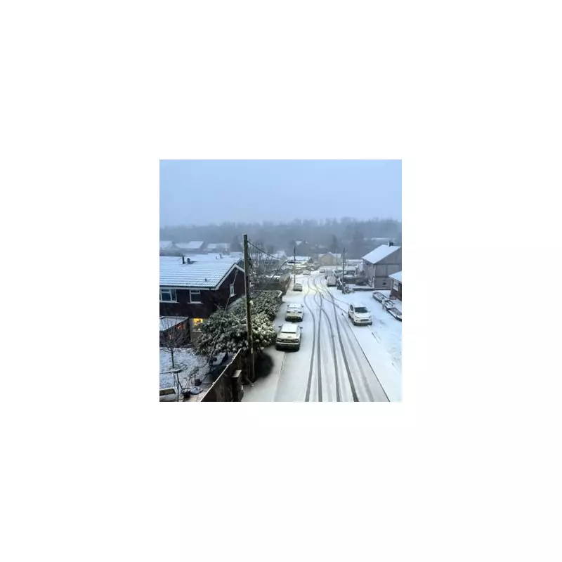
The UK is braced for a turbulent period of weather, with forecasters warning of a 'real likelihood' of snowfall next week. This comes as the nation grapples with the immediate aftermath of Storm Goretti, which has left a complex and hazardous meteorological situation in its wake.
A Battleground of Weather Systems
The Met Office describes the current setup as a climatic 'battleground'. Icy Arctic air, brought by Storm Goretti, is now being challenged by milder, wetter Atlantic air pushing in from the west. While this has led to rising temperatures in southern and western regions, the transition is spawning severe new hazards across the country for Sunday, January 11, and Monday, January 12.
Immediate Hazards: Freezing Rain and Rapid Thaw
A particularly dangerous warning has been issued for 'freezing rain' across eastern Scotland and northern England on Sunday. This rare event sees rain freeze instantly on contact with the ground or other surfaces, creating a near-invisible and treacherous layer of black ice that is extremely difficult to treat or clear.

Simultaneously, a significant flood risk has developed in Scotland and northern England due to a 'rapid thaw'. As temperatures climb, the deep snow deposited by Storm Goretti is melting rapidly. This meltwater, combined with heavy rainfall forecast to bring up to 100mm in some western areas, threatens to overwhelm drainage systems, putting low-lying land, roads, and properties at risk.
Ongoing Warnings and Long-Term Outlook
Severe weather alerts remain active into Monday morning. These include an amber warning for snow in the Scottish Highlands and widespread yellow warnings for rain and wind across the north and west. Coastal gales in the Hebrides and western Highland coast could reach speeds of 85mph.
Infrastructure is still recovering from the initial storm. Engineers from the National Grid and local operators continue efforts to restore power to hundreds of homes in the West Midlands, East Midlands, and South West.
Looking ahead, the Met Office predicts conditions will turn 'much milder' by mid-week, with London potentially seeing temperatures of 11°C. However, the broader outlook remains unsettled, with further spells of wet and windy weather expected as Atlantic low-pressure systems take control.


