
The Met Office has issued an urgent warning to Birmingham residents as a 'snow bomb' is set to hit the city, bringing hazardous conditions and travel disruption.
Yellow Warning and Essential Travel Kit
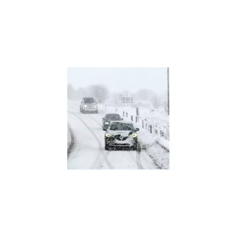
A yellow weather warning for snow and ice is now in effect from midnight until midday on Friday, January 2. In response, forecasters have advised households, particularly those planning to drive, to prepare an emergency kit containing nine crucial items.
The Met Office's alert states drivers should pack essentials to prepare for potential delays. The recommended items are:

- Warm clothing
- Food and water
- A blanket
- A torch
- An ice scraper or de-icer
- A warning triangle
- A high visibility vest
- An in-car phone charger
The agency also stressed that weather warnings can change rapidly and urged the public to stay up to date with the latest local forecast.
Forecasted Snowfall and Icy Hazards
An area of sleet and snow is predicted to move southeastwards across England and Wales, lingering for two to three hours in any single location. Where snow settles, accumulations of 1 to 2 cm are likely, with the potential for up to 5 cm in a few spots.
The higher ground of north Wales, northwest England, and possibly the northwest Midlands are expected to see the heaviest falls. Icy patches are also a major concern, as precipitation falling onto frozen surfaces will create slippery conditions, with ice developing quickly once the sleet and snow clears.
Extended Cold Spell and Further Warnings
According to forecaster WXCharts, snow could build significantly in the coming days, with predictions of up to 27cm of snowfall by January 5. By January 7, parts of northern England could be under 11cm of snow.
The wintry conditions are forecast to persist across the UK until around January 15. The peak of the cold blast is expected on January 12 and 13, when parts of Scotland could see a staggering 51cm of snow.
Chief Forecaster Neil Armstrong commented on the prolonged freeze: "With Arctic air now covering most of the UK very cold weather will continue through the weekend, with minus double figures overnight in places and daytime temperatures struggling to rise above 0°C for some."
He added, "It looks like this cold spell could last well into next week and wintry hazards will continue with more weather warnings likely. It is therefore important people keep up to date with the latest forecast and warnings and plan ahead."


