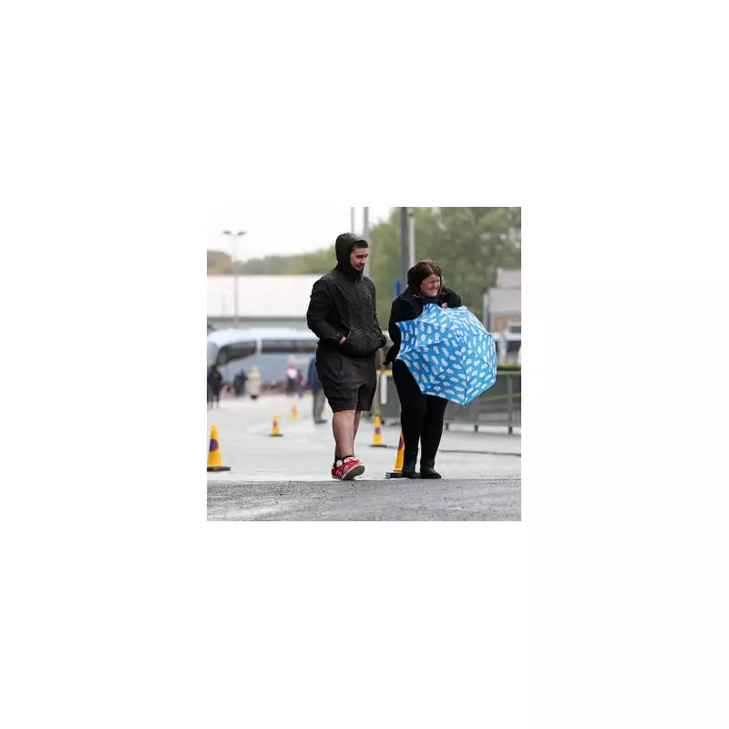
The Met Office has raised the alarm as forecasters predict a severe weather system will sweep across the United Kingdom, bringing potentially damaging winds reaching up to 80mph in exposed coastal areas.
When and Where the Storm Will Strike
Meteorologists are tracking the powerful weather front expected to make landfall on Tuesday morning. The most intense winds are predicted to hit western coastal regions initially, before spreading inland throughout the day.
Key areas of concern include:
- Southwest England and Wales bearing the initial brunt
- Northern England and the Midlands experiencing strengthening winds by afternoon
- Coastal communities facing the most dangerous conditions
Potential Impacts and Disruption
Transport networks are preparing for significant disruption as the severe gales approach. Network Rail has indicated that speed restrictions may be necessary on certain routes, particularly those crossing exposed bridges and coastal lines.
"We're urging passengers to check their journey details before travelling on Tuesday," a Network Rail spokesperson advised. "The safety of our passengers and staff remains our top priority."
What to Expect
- Dangerous conditions on roads and bridges
- Potential for fallen trees and debris
- Possible power outages in affected areas
- Coastal flooding risk in vulnerable locations
- Significant delays to road, rail and air travel
Public Safety Advice
Emergency services are recommending that residents secure loose outdoor items and consider postponing non-essential travel during the peak of the storm. Motorists are being warned to exercise extreme caution, particularly when driving high-sided vehicles or towing trailers.
The Met Office continues to monitor the situation closely and will update warnings as the weather system develops. Residents in affected regions are advised to stay informed through official weather channels and local authority updates.


