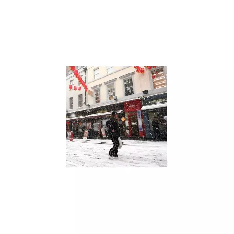
Britain is bracing for a significant return of wintry weather, with forecasters now pinpointing the exact date for the next potential 'snow bomb'. Fresh weather maps indicate the white stuff could arrive sooner than initially thought.
Battleground Forecast: Cold Air Clash Ahead
Meteorological experts are warning of a dramatic atmospheric 'battleground' set to unfold over the UK. According to the latest projections, snow flurries are now forecast to hit on either Tuesday, January 27, or Wednesday, January 28. This is a shift from earlier predictions which had earmarked January 31 for the next snowfall.
Steven Keates, the Met Office's deputy chief forecaster, stated that while a turn to colder conditions next week looks increasingly likely, uncertainties remain. "There are variations between the different weather models," Keates explained. "The majority indicate below-average temperatures from the east, but nothing too extreme at the moment."

Expert Analysis: The Jet Stream's Role
Nick Finnis, a meteorologist with Netweather TV, detailed the complex weather dynamics. He described a looming clash between a large high-pressure system extending from Siberia and a series of low-pressure systems arriving from the west. This is driven by a powerful jet stream moving from North America across the Atlantic.
"This may allow cold air to flood west over the North Sea from Scandinavia," Finnis said. He indicated the coldest air could initially reach the north and northeast on Sunday, potentially spreading nationwide by Monday, bringing conditions cold enough for snow.
BBC Weather Confirms Colder Spell Incoming
BBC Weather forecaster Sarah Keith-Lucas corroborated the outlook for a pronounced cold spell. "Forecasters are predicting a colder spell of weather to take hold in the UK for the end of January and into the start of February," she confirmed.
She echoed the 'battle' narrative, noting a growing likelihood of cold air from the east winning out over milder western conditions next week. "Some places will see an increased chance of sleet and snow although details remain uncertain at this stage," Keith-Lucas added. However, she warned that before the freeze, another round of wet and windy weather will dominate for the coming days.
The convergence of forecasts from the Met Office, Netweather, and the BBC points to a week of significant weather change. Residents across the UK are advised to stay updated with the latest local forecasts as the precise track and intensity of the potential snow event become clearer in the coming days.