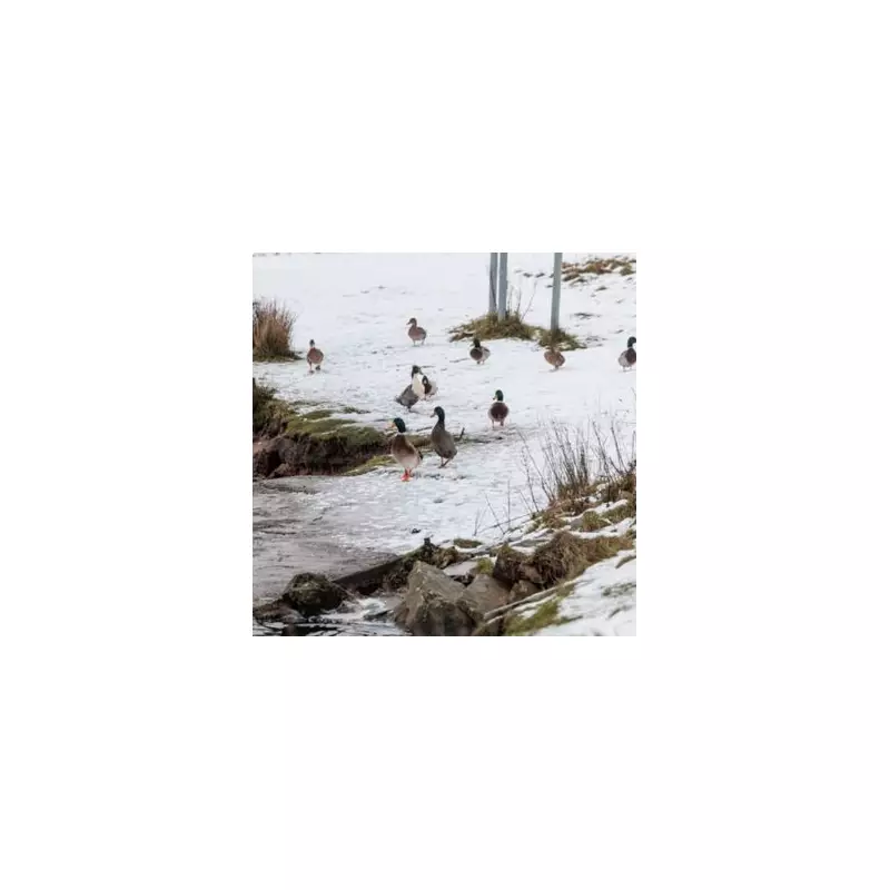
The United Kingdom is preparing for a potential nine-day period of wintry hazards as forecasters warn of a significant cold snap developing. The Met Office has indicated that the country is set to remain a meteorological battleground, caught between competing weather systems.
Extended Forecast Details Snow Risk
In its latest outlook covering January 23 to February 2, the Met Office has signalled a shift towards colder conditions. The forecast states that while milder air will occasionally affect southern and western regions, temperatures are expected to fall overall. This brings a risk of snow, particularly over higher ground in Scotland and northern England.
BBC forecaster Stav Danaos echoed this, noting: "Slightly colder weather is expected across northern areas on Thursday and into Friday, with some snow likely over high ground in Scotland, especially across the Grampians and Highlands."
A Nation on the Weather Boundary
The broader weather pattern is being driven by high pressure to the east and lower pressure to the west. This setup places the UK directly on the boundary between colder and milder air masses, creating uncertainty and the potential for disruptive weather.
"For most areas temperatures are set to stay around the January average for the rest of the week, then will fall below average over the weekend and throughout the final week of January," Danaos added. He also cautioned that while forecasting models agree on a wider temperature drop towards month's end, the transition will not be clear-cut.
Further Outlook and Immediate Warnings
Looking ahead to February, the Met Office predicts little overall change in the dominant weather patterns. Atlantic systems will continue to attempt pushes eastwards, but on a more southerly track. This is expected to bring the wettest conditions to central and southern areas, while the north and northwest stay drier.
The forecaster's update notes: "Whilst mild incursions are favoured at times in the south and west, colder conditions in the north and northeast will bring associated wintry hazards as wet weather attempts to spread in, especially on hills."
Separately, the Met Office has issued an immediate warning for severe weather. Chief Forecaster Paul Gundersen said: “A spell of strong winds and heavy rain is expected to affect southwest England and parts of Wales during Tuesday. Inland winds gusts could reach 45-55 mph, and possibly 60-65 mph over the most exposed hills and coasts.”
He highlighted that the heavy rain could cause disruption in vulnerable areas like Cornwall, which is still recovering from the impacts of Storm Goretti.


