
Winter Weather Alert: 32 English Counties Set to Escape Heavy Snowfall
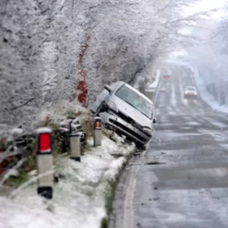
New weather projections indicate that while parts of Scotland and Northern England prepare for significant snowfall, a substantial portion of England will remain largely unaffected by the incoming winter conditions.
Forecast Details and Affected Regions
According to the latest data from WX Charts, which utilises the Met Desk's information and ECMWF modelling systems, areas of Scotland and Northern England are expected to experience snowfall on Saturday, February 21. The most severe conditions are predicted for the Scottish counties of Aberdeenshire, Invernesshire, and Banffshire, where snow depths could reach approximately 23 centimetres.
The snowfall is anticipated to be more widespread than initially thought, with projections showing snow spreading across England as well. Depths in these English regions are expected to range between 1cm and 19cm, affecting numerous areas nationwide.

Counties at Risk of Snowfall
The weather models highlight several counties in Northern England that face the highest risk of snowfall. These include:
- Northumberland
- Cumbria
- Durham
- North Yorkshire
- East Yorkshire
- West Yorkshire
- South Yorkshire
- Greater Manchester
- Cheshire
- Lancashire
- Merseyside
Counties Expected to Be Spared
In contrast, weather experts predict that counties located south of the Midlands will largely escape the heaviest snowfall. The full list of 32 counties expected to be spared includes:
- Northamptonshire
- Bedfordshire
- Buckinghamshire
- Hertfordshire
- Nottinghamshire
- Oxfordshire
- Leicestershire
- Derbyshire
- Warwickshire
- Cambridgeshire
- Rutland
- Lincolnshire
- West Midlands
- Shropshire
- Staffordshire
- Worcestershire
- Herefordshire
- Gloucestershire
- Somerset
- Devon
- Dorset
- Cornwall
- Wiltshire
- Berkshire
- Essex
- Kent
- Greater London
- Norfolk
- Suffolk
- Surrey
Met Office Weather Outlook
Clare Nasir from the Met Office has provided additional context about the broader weather patterns affecting the UK. She noted that outbreaks of rain are expected to extend through the afternoon, with potential accumulations of 40 to 60mm on higher ground. A yellow weather warning remains in effect for southwest Scotland into the evening.
Nasir explained that "Low pressure sits across the UK. It is slow moving and rain pushes northwards slowly, stalling across Scotland and that continues to be the case into Thursday." She added that the air will turn colder in northern regions, changing how conditions feel at the beginning of the weekend.
The meteorologist further detailed that mountainous snow is expected in the north, while further south, rain will come and go across Northern Ireland. Wet weather is also forecast to extend across northern England, accompanied by a blustery breeze from the southwest. Despite temperatures potentially reaching 11°C in southern areas, the combination of persistent rain, mountain snow, and wind will make conditions feel considerably colder.


